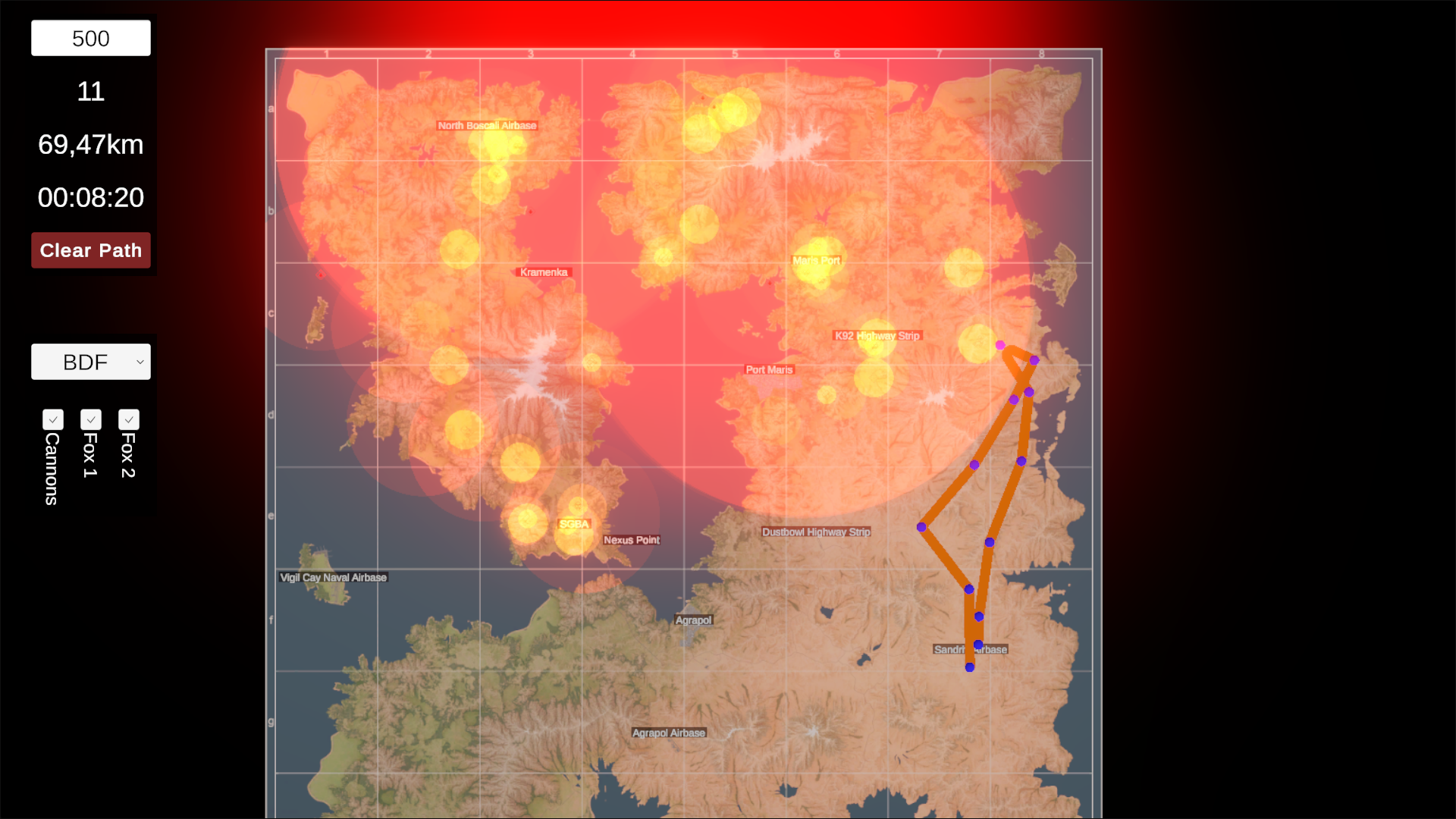
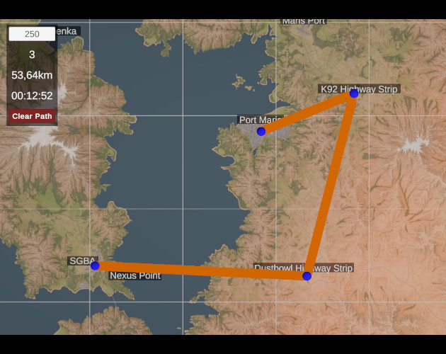
Nuclear Option - Flight Planner
This tool can be used to display distances and travel times. You determine a travel speed and then set waypoints on the map. Travel distance and duration are calculated directly.
- The map can be moved by holding down the middle mouse button.
- You can zoom with the mouse wheel.
- If you press the left mouse button while holding down LShift, you can place a waypoint.
- If you click on a waypoint with the left mouse button, it is selected and can be deleted with the “DEL” key.
- The “Clear Path” button can be used to delete all placed waypoints.
I recommend the fullscreen mode. I have set it to Full HD. Other resolutions may produce distorted results.
Background image edited by TroubleOrganic3636
Leave a comment
Log in with itch.io to leave a comment.